Using GPS Data with Google Maps
Google maps is probably one of the most powerful features within google.
<googlemap lat="42.711618" lon="-73.25112"> 42.711618, -73.25112, this point is not on a line 43.224024, -70.28301, neither is this one
- 770077
42.202452, -72.83101, this is on a line of color #77077 45.214425, -72.48114, so is this
- 668800
42.201324, -70.95811, this starts a second line 43.404142, -73.44514, this is also on the second line </googlemap>
The API
To use google features within your own html, an API key must be applied for. Each URL needs it's own Key to funtion.
http://www.google.com/apis/maps/signup.html
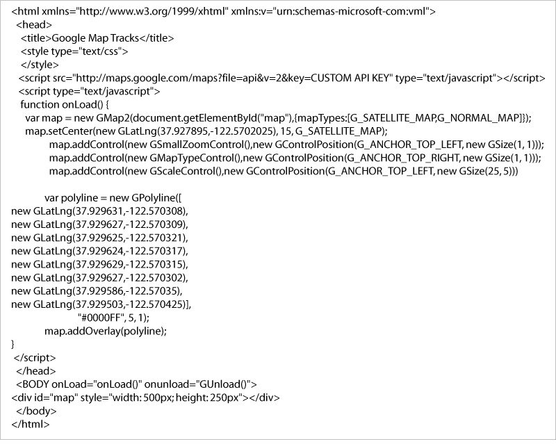
The google API has specific instructions for adding maps, including GPS tracks to your website.
http://www.google.com/apis/maps/
HTML
WIKI
http://www.mediawiki.org/wiki/Extension:Google_Maps
http://en.giswiki.net/wiki/Google_Maps_Extensions/GMap
http://meta.wikimedia.org/wiki/User:Mafs/GoogleMapExtension
other types of maps in mediawiki are covered here: http://meta.wikimedia.org/wiki/Maps
Why Google Maps is better than Google Earth
The biggest problem with Google Earth is that users need to sign in. a pain.
Test Space
<gmap> rss=http://earthquake.usgs.gov/recenteqsww/catalogs/eqs7day-M5.xml | width=600 | height=500 | zoom=15 | lat=39 | lon=28 </gmap>
